Guam News Brief

Hazard alerts

Hazard alerts relayed from official sources, newest first, with the Instagram slide for each. Guam News Brief does not issue alerts: follow GHS/OCD and NWS Guam. Times in ChST.

High Surf

Nov 13, 2026, 10:16 a.m. ChST to Nov 14, 2026, 6:42 p.m. ChST · 2 updates
  1. New alert ·

    High Surf Advisory

    Guam; Rota; Tinian; Saipan
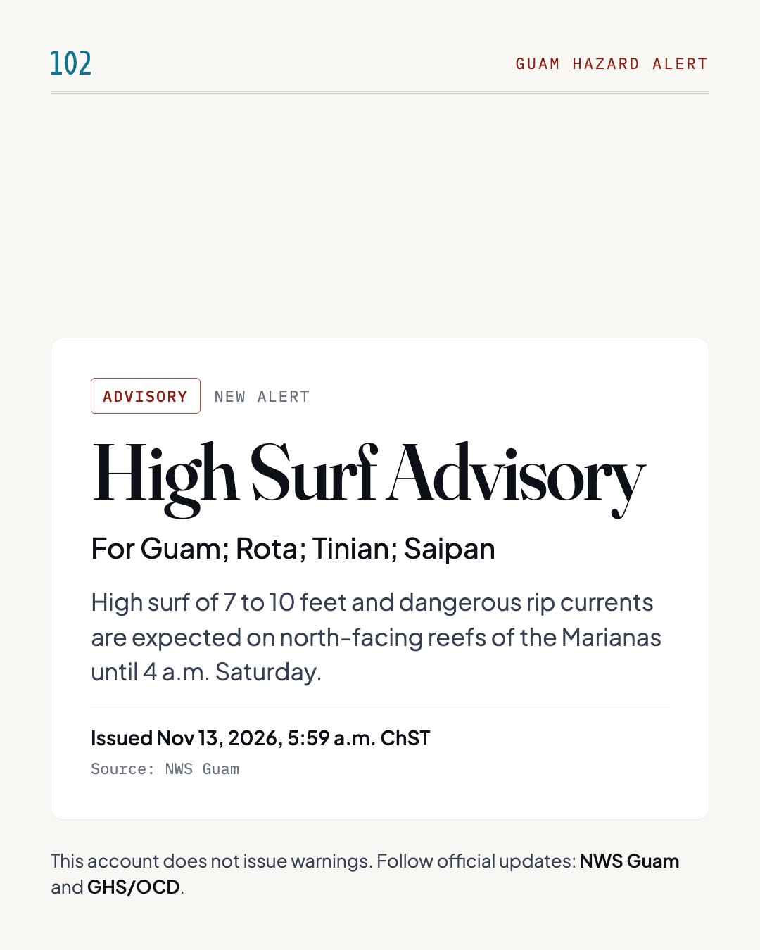
    Guam hazard alert: High Surf Advisory, for Guam; Rota; Tinian; Saipan. High surf of 7 to 10 feet and dangerous rip currents are expected on north-facing reefs of the Marianas until 4 a.m. Saturday. Issued Nov 13, 2026, 5:59 a.m. ChST by NWS Guam. This account does not issue warnings; follow NWS Guam and GHS/OCD.

    High surf of 7 to 10 feet and dangerous rip currents are expected on north-facing reefs of the Marianas until 4 a.m. Saturday.

    NWS Guam has issued a High Surf Advisory for Guam, Rota, Tinian and Saipan. Large breaking waves of 7 to 10 feet are expected in the surf zone along north-facing reefs of the Marianas, driven by an elevated, long-period north swell. Observation sites have already reported surf up to 7 feet, with frequent larger sets of 7 to 9 feet on some north-facing reefs. There is also a high risk of rip currents through late tonight. Expect dangerous swimming and surfing conditions and localized beach erosion; rip currents can pull even strong swimmers away from shore into deeper water. Surf is expected to drop below hazardous levels shortly after late tonight. The advisory runs until 4 a.m. ChST Saturday.

    What to do

    • Inexperienced swimmers should stay out of the water.
    • If caught in a rip current, relax and float; don't swim against the current.
    • If able, swim in a direction following the shoreline.
    • If unable to escape, face the shore and call or wave for help.

    Timing: High Surf Advisory until 4 a.m. ChST Saturday; High Rip Current Risk through late tonight.

    Source: NWS Guam(opens in a new tab)
  2. Ended ·

    High Surf no longer in effect

    Guam; Rota; Tinian; Saipan

    Guam hazard alert ended: High Surf Advisory is no longer in effect for Guam; Rota; Tinian; Saipan. This alert is no longer in effect. Issued Nov 14, 2026, 5:08 a.m. ChST by NWS Guam.

    This alert is no longer in effect.

    This alert is no longer in effect.

    Source: NWS Guam(opens in a new tab)
High Surf

Nov 7, 2026, 10:16 a.m. ChST to Nov 8, 2026, 10:14 a.m. ChST · 2 updates
  1. New alert ·

    High Surf Advisory

    Guam; Rota; Tinian; Saipan

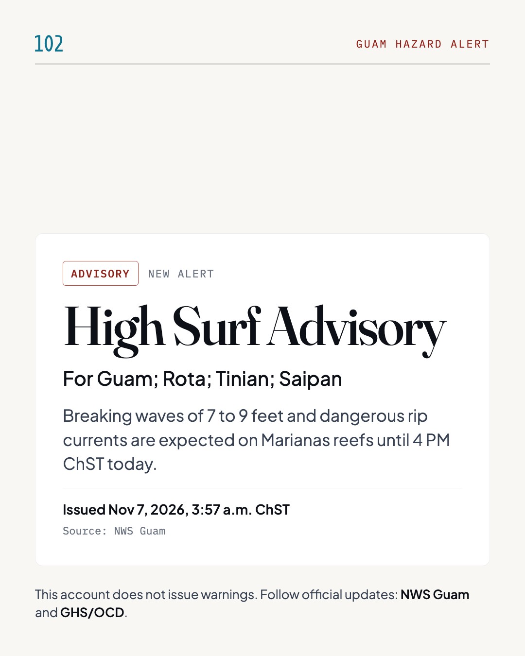
    Guam hazard alert: High Surf Advisory, for Guam; Rota; Tinian; Saipan. Breaking waves of 7 to 9 feet and dangerous rip currents are expected on Marianas reefs until 4 PM ChST today. Issued Nov 7, 2026, 3:57 a.m. ChST by NWS Guam. This account does not issue warnings; follow NWS Guam and GHS/OCD.

    Breaking waves of 7 to 9 feet and dangerous rip currents are expected on Marianas reefs until 4 PM ChST today.

    NWS Tiyan issued a High Surf Advisory for Guam, Rota, Tinian and Saipan, in effect until 4 PM ChST on November 7. Large breaking waves of 7 to 9 feet and dangerous rip currents are expected. The High Surf Advisory covers north facing reefs of the Marianas, and the High Rip Current Risk covers north and east facing reefs. Elevated northeast trade swell, a smaller long-period north swell, and a north to northwest swell from Tropical Depression 31W are generating the hazardous surf through this afternoon. Expected impacts include dangerous swimming and surfing conditions and localized beach erosion. Rip currents can sweep even the best swimmers away from shore into deeper water.

    What to do

    • Inexperienced swimmers should remain out of the water.
    • If caught in a rip current, relax and float.
    • Don't swim against the current.
    • If able, swim in a direction following the shoreline.
    • If unable to escape, face the shore and call or wave for help.

    Timing: Until 4 PM ChST on November 7.

    Source: NWS Guam(opens in a new tab)
  2. Ended ·

    High Surf no longer in effect

    Guam; Rota; Tinian; Saipan

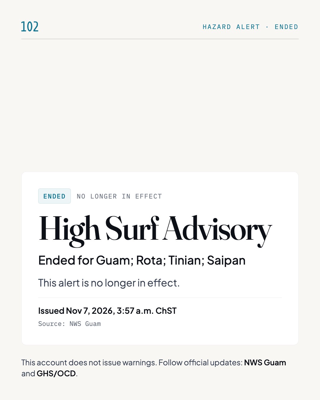
    Guam hazard alert ended: High Surf Advisory is no longer in effect for Guam; Rota; Tinian; Saipan. This alert is no longer in effect. Issued Nov 7, 2026, 3:57 a.m. ChST by NWS Guam.

    This alert is no longer in effect.

    This alert is no longer in effect.

    Source: NWS Guam(opens in a new tab)
High Surf

Oct 30, 2026, 10:38 a.m. ChST to Nov 3, 2026, 4:06 a.m. ChST · 2 updates
  1. New alert ·

    High Surf Advisory

    Guam; Rota

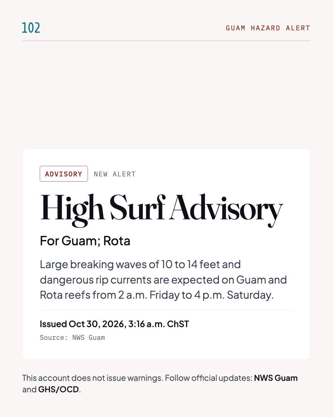
    Guam hazard alert: High Surf Advisory, for Guam; Rota. Large breaking waves of 10 to 14 feet and dangerous rip currents are expected on Guam and Rota reefs from 2 a.m. Friday to 4 p.m. Saturday. Issued Oct 30, 2026, 3:16 a.m. ChST by NWS Guam. This account does not issue warnings; follow NWS Guam and GHS/OCD.

    Large breaking waves of 10 to 14 feet and dangerous rip currents are expected on Guam and Rota reefs from 2 a.m. Friday to 4 p.m. Saturday.

    The National Weather Service has issued a High Surf Advisory for Guam and Rota. Large breaking waves of 10 to 14 feet and dangerous rip currents are expected along north- and east-facing reefs from 2 a.m. Friday until 4 p.m. ChST Saturday. A long-period northeast swell from Typhoon In-fa, moving west-northwest toward the far northern CNMI, has begun producing hazardous surf. As In-fa moves on, the swell will turn north and then northwest, building surf on west-facing reefs Friday night. Surf will stay hazardous through at least Saturday afternoon, with a high risk of rip currents. Expect dangerous swimming and surfing conditions and localized beach erosion. Rip currents can pull even strong swimmers away from shore into deeper water.

    What to do

    • Inexperienced swimmers should stay out of the water.
    • If caught in a rip current, relax and float.
    • Don't swim against the current.
    • If able, swim in a direction following the shoreline.
    • If unable to escape, face the shore and call or wave for help.

    Timing: From 2 a.m. Friday to 4 p.m. ChST Saturday; surf on west-facing reefs builds Friday night.

    Source: NWS Guam(opens in a new tab)
  2. Ended ·

    High Surf no longer in effect

    Guam; Rota; Tinian; Saipan

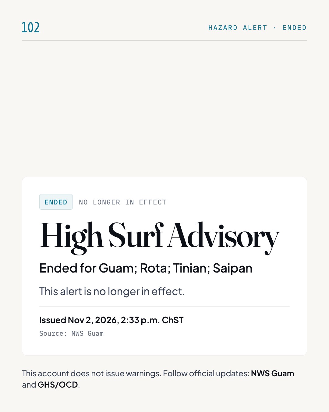
    Guam hazard alert ended: High Surf Advisory is no longer in effect for Guam; Rota; Tinian; Saipan. This alert is no longer in effect. Issued Nov 2, 2026, 2:33 p.m. ChST by NWS Guam.

    This alert is no longer in effect.

    This alert is no longer in effect.

    Source: NWS Guam(opens in a new tab)
Flood

Oct 19, 2026, 1:08 p.m. ChST to Oct 19, 2026, 1:08 p.m. ChST · 1 update
  1. New alert ·

    Flood Advisory

    all of Guam, especially in areas that are low-lying or with poor drainage

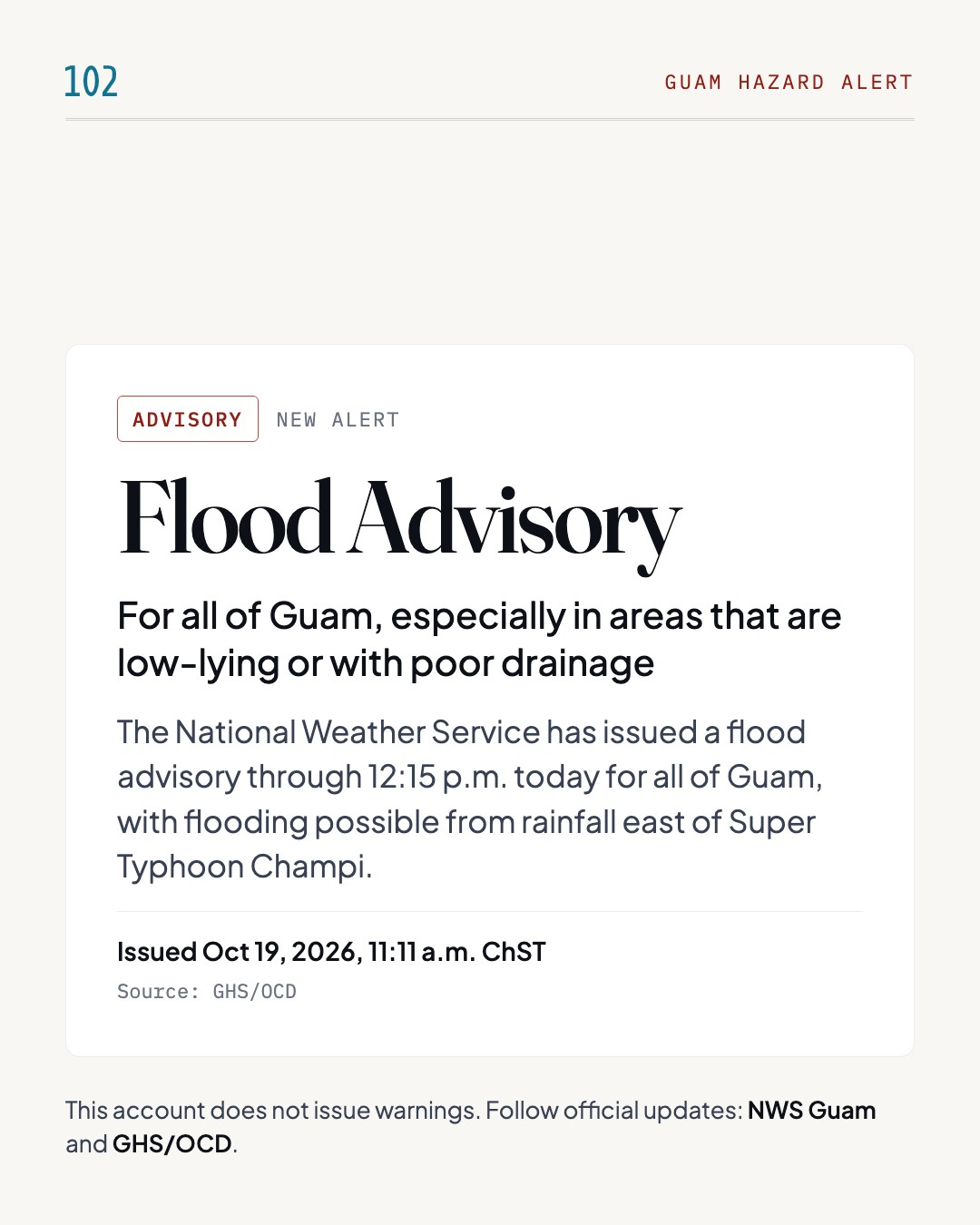
    Guam hazard alert: Flood Advisory, for all of Guam, especially in areas that are low-lying or with poor drainage. The National Weather Service has issued a flood advisory through 12:15 p.m. today for all of Guam, with flooding possible from rainfall east of Super Typhoon Champi. Issued Oct 19, 2026, 11:11 a.m. ChST by GHS/OCD. This account does not issue warnings; follow NWS Guam and GHS/OCD.

    The National Weather Service has issued a flood advisory through 12:15 p.m. today for all of Guam, with flooding possible from rainfall east of Super Typhoon Champi.

    Rainfall extending east of Super Typhoon Champi is expected to cause flooding this morning. The National Weather Service has issued a flood advisory through 12:15 p.m. today for all of Guam, especially in areas that are low-lying or with poor drainage. High surf and small craft advisories also remain in effect. Breaking waves of 9 to 11 feet will create dangerous swimming and surfing conditions and localized beach erosion. Rip currents are also dangerous, and everyone should stay out of the water until conditions improve. Seas of 10 to 12 feet make boating dangerous, and inexperienced mariners and operators of smaller vessels should avoid boating until further notice. Traffic control officers are deployed at major intersections due to power outages.

    What to do

    • Stay out of the water until conditions improve.
    • Avoid boating until further notice.
    • Obey traffic control officers' hand signals; treat intersections with dark signals as four-way stops.
    • Use turn signals early and watch closely for pedestrians and bicyclists.

    Timing: Flood advisory in effect through 12:15 p.m. today.

    Source: GHS/OCD(opens in a new tab)

Special Marine

Oct 19, 2026, 10:08 a.m. ChST to Oct 19, 2026, 10:08 a.m. ChST · 1 update
  1. New alert ·

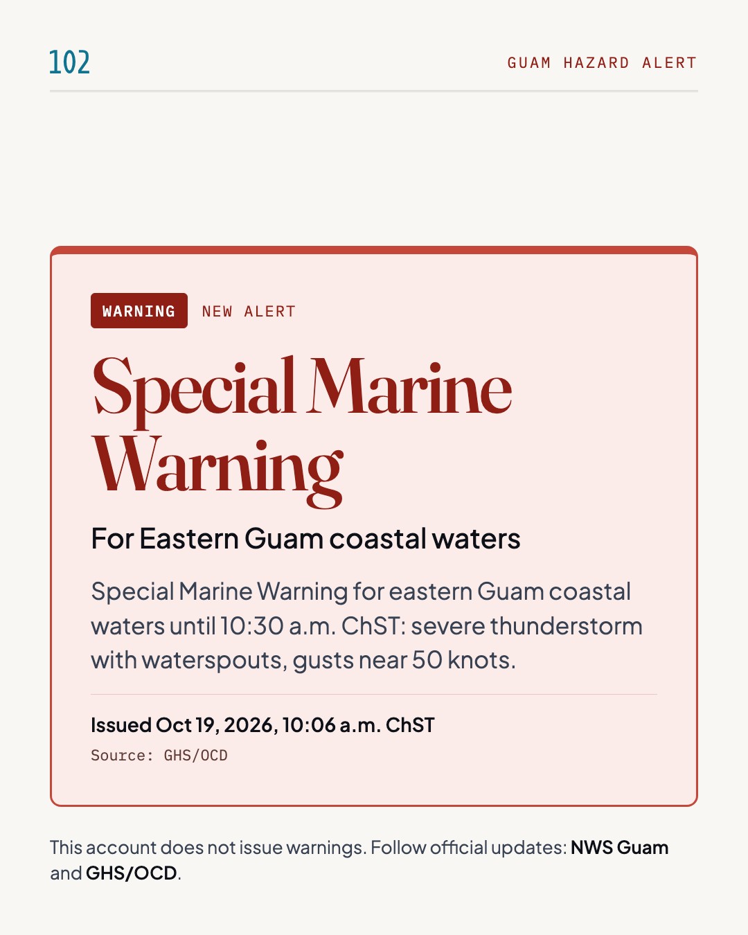
    Special Marine Warning

    Eastern Guam coastal waters

    Guam hazard alert: Special Marine Warning, for Eastern Guam coastal waters. Special Marine Warning for eastern Guam coastal waters until 10:30 a.m. ChST: severe thunderstorm with waterspouts, gusts near 50 knots. Issued Oct 19, 2026, 10:06 a.m. ChST by GHS/OCD. This account does not issue warnings; follow NWS Guam and GHS/OCD.

    Special Marine Warning for eastern Guam coastal waters until 10:30 a.m. ChST: severe thunderstorm with waterspouts, gusts near 50 knots.

    The National Weather Service Guam has issued a Special Marine Warning for Guam Coastal Waters until 10:30 a.m. ChST. At 9:45 a.m. ChST, radar located a severe thunderstorm capable of producing waterspouts over eastern Guam coastal waters, moving north at 25 knots. Hazards include wind gusts to nearly 50 knots, frequent lightning and possible waterspouts, which can easily overturn boats and create locally hazardous seas. Small craft could be damaged in briefly higher winds and suddenly higher waves. The storm is expected to remain over mainly open waters. A Flood Advisory for Guam runs until 12:15 p.m. ChST for urban and small stream flooding from heavy rain, with 1 to 3 inches more expected. A High Surf Advisory and High Rip Current Risk remain in effect until 4 p.m. ChST for south and west facing reefs.

    What to do

    • Move to safe harbor immediately, as gusty winds and high waves are expected.
    • If caught on open water, stay below deck if possible and keep away from ungrounded metal objects.
    • Inexperienced mariners, especially those on smaller vessels, should avoid boating in hazardous conditions.
    • Turn around, don't drown when encountering flooded roads; do not drive on flooded roads.
    • Inexperienced swimmers should stay out of the water due to dangerous surf conditions.
    • If caught in a rip current, relax and float. Don't swim against the current.

    Timing: In effect until 10:30 a.m. ChST; surf expected to remain hazardous through the rest of today.

    Source: GHS/OCD(opens in a new tab)

Flood

Oct 19, 2026, 4:07 a.m. ChST to Oct 19, 2026, 4:07 a.m. ChST · 1 update
  1. Ended ·

    Flood no longer in effect

    Guam; Rota

    Guam hazard alert ended: Flood Watch is no longer in effect for Guam; Rota. This alert is no longer in effect. Issued Oct 18, 2026, 3:59 p.m. ChST by NWS Guam.

    This alert is no longer in effect.

    This alert is no longer in effect.

    Source: NWS Guam(opens in a new tab)
Tropical Storm

Oct 16, 2026, 11:07 p.m. ChST to Oct 16, 2026, 11:07 p.m. ChST · 1 update
  1. New alert ·

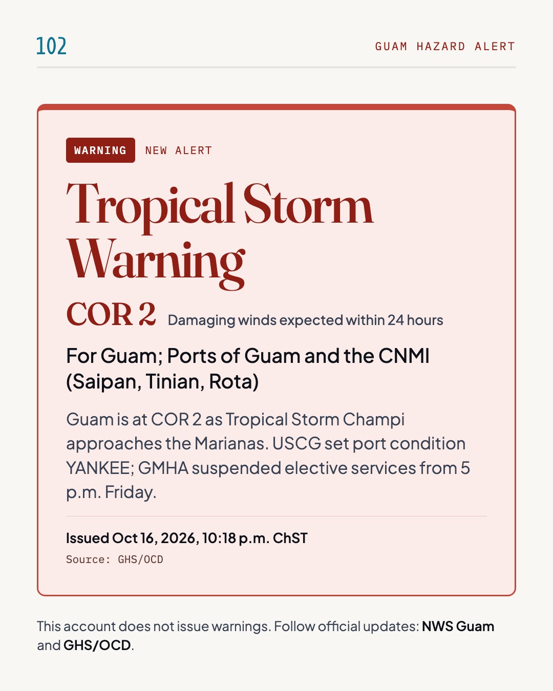
    Tropical Storm Warning · COR 2

    Guam; Ports of Guam and the CNMI (Saipan, Tinian, Rota)

    Guam hazard alert: Tropical Storm Warning, COR 2, for Guam; Ports of Guam and the CNMI (Saipan, Tinian, Rota). Guam is at COR 2 as Tropical Storm Champi approaches the Marianas. USCG set port condition YANKEE; GMHA suspended elective services from 5 p.m. Friday. Issued Oct 16, 2026, 10:18 p.m. ChST by GHS/OCD. This account does not issue warnings; follow NWS Guam and GHS/OCD.

    Guam is at COR 2 as Tropical Storm Champi approaches the Marianas. USCG set port condition YANKEE; GMHA suspended elective services from 5 p.m. Friday.

    Guam is in Condition of Readiness (COR) 2 as Tropical Storm Champi approaches the Marianas. The Guam Memorial Hospital Authority (GMHA) plans to begin intake of eligible expectant mothers on Saturday morning, October 17, with the exact time to be announced, and has suspended elective outpatient appointments, procedures, surgeries and other non-emergency services since 5:00 p.m. ChST on Friday, October 16. The GMHA Emergency Department remains open 24 hours a day, and inpatient and critical hospital operations will continue throughout the storm. The U.S. Coast Guard Captain of the Port set Port Heavy Weather Condition YANKEE for the Ports of Guam and the CNMI, effective 4:00 p.m. ChST on Friday, October 16. Under YANKEE, commercial vessels of 200 gross tons or greater must evacuate the port unless they have written approval, and no inbound vessel traffic is authorized.

    What to do

    • Expectant mothers should not report to GMHA until the hospital announces that intake has begun.
    • For life-threatening medical emergencies, call 911 immediately.
    • Complete storm preparations while conditions remain safe, refill prescriptions and secure medical supplies.
    • Commercial vessels of 200 gross tons or greater must evacuate the port unless they have written COTP approval.
    • No inbound vessel traffic is authorized under PHWC YANKEE.
    • Vessel transits within the Port of Tinian are restricted to daylight hours only.

    Timing: GMHA intake expected to begin Saturday morning, October 17; PHWC YANKEE in effect from 4:00 p.m. ChST Friday, October 16.

    Source: GHS/OCD(opens in a new tab)

High Surf

Oct 16, 2026, 4:41 p.m. ChST to Oct 20, 2026, 4:07 a.m. ChST · 4 updates
  1. New alert ·

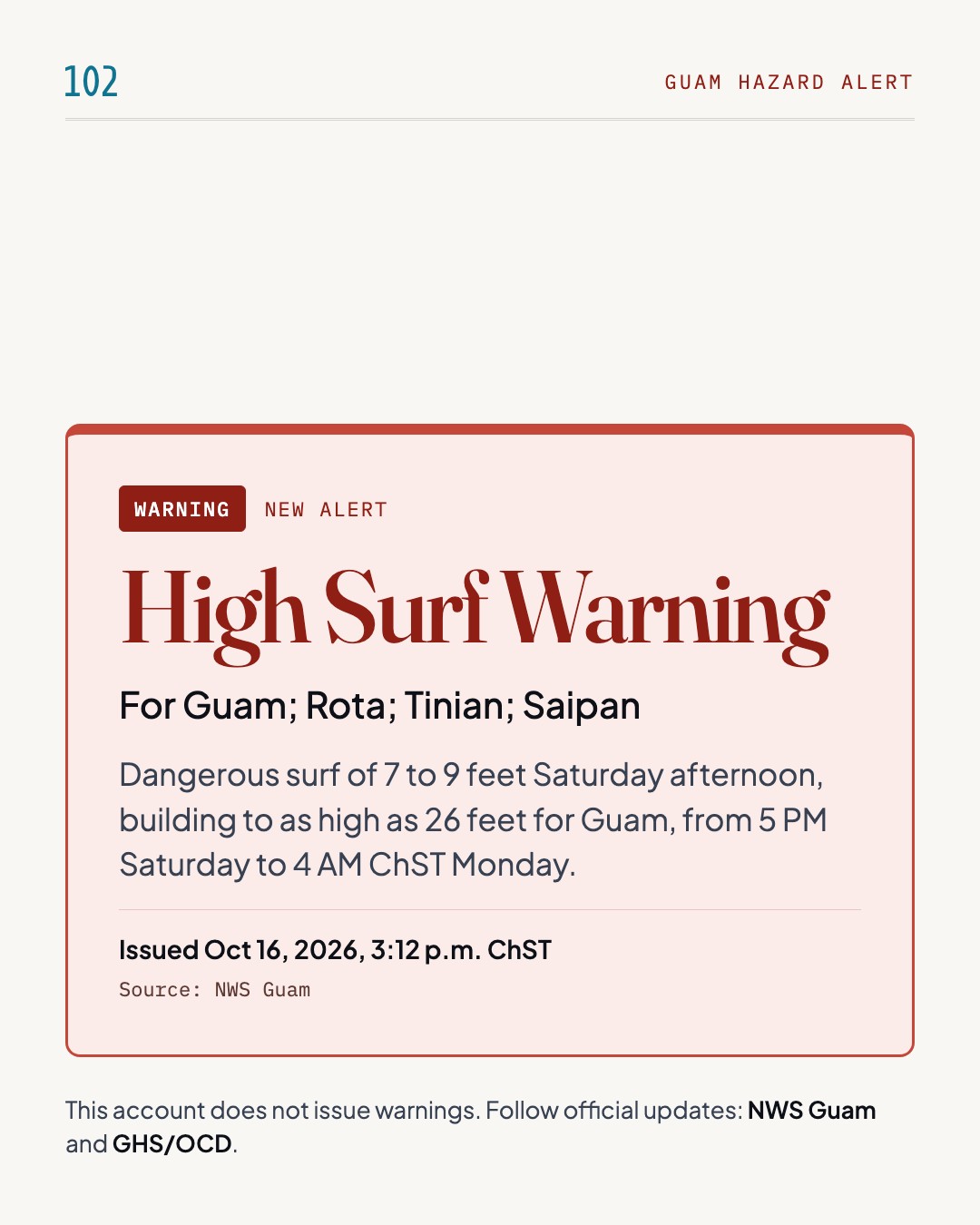
    High Surf Warning

    Guam; Rota; Tinian; Saipan

    Guam hazard alert: High Surf Warning, for Guam; Rota; Tinian; Saipan. Dangerous surf of 7 to 9 feet Saturday afternoon, building to as high as 26 feet for Guam, from 5 PM Saturday to 4 AM ChST Monday. Issued Oct 16, 2026, 3:12 p.m. ChST by NWS Guam. This account does not issue warnings; follow NWS Guam and GHS/OCD.

    Dangerous surf of 7 to 9 feet Saturday afternoon, building to as high as 26 feet for Guam, from 5 PM Saturday to 4 AM ChST Monday.

    NWS Guam has issued a High Surf Warning for Guam, Rota, Tinian and Saipan as Tropical Storm Champi approaches the Marianas. Dangerously large breaking waves of 7 to 9 feet are expected Saturday afternoon, building to as high as 26 feet for Guam, 20 feet for Rota and 19 feet for Tinian and Saipan. Surf will reach east-facing reefs first, spreading to south-facing reefs through Sunday afternoon. Breaking waves can sweep people off jetties and docks and into dangerous seas. Life-threatening swimming conditions and significant beach erosion can be expected. The warning runs from 5 PM Saturday to 4 AM ChST Monday. A Coastal Flood Watch is also in effect for all reefs of the Marianas.

    What to do

    • Everyone should remain out of the water due to life-threatening surf conditions.
    • Stay off of jetties, piers, and other waterside infrastructure.

    Timing: From 5 PM Saturday to 4 AM ChST Monday, October 19.

    Source: NWS Guam(opens in a new tab)
  2. Level changed ·

    High Surf Advisory

    Guam; Rota

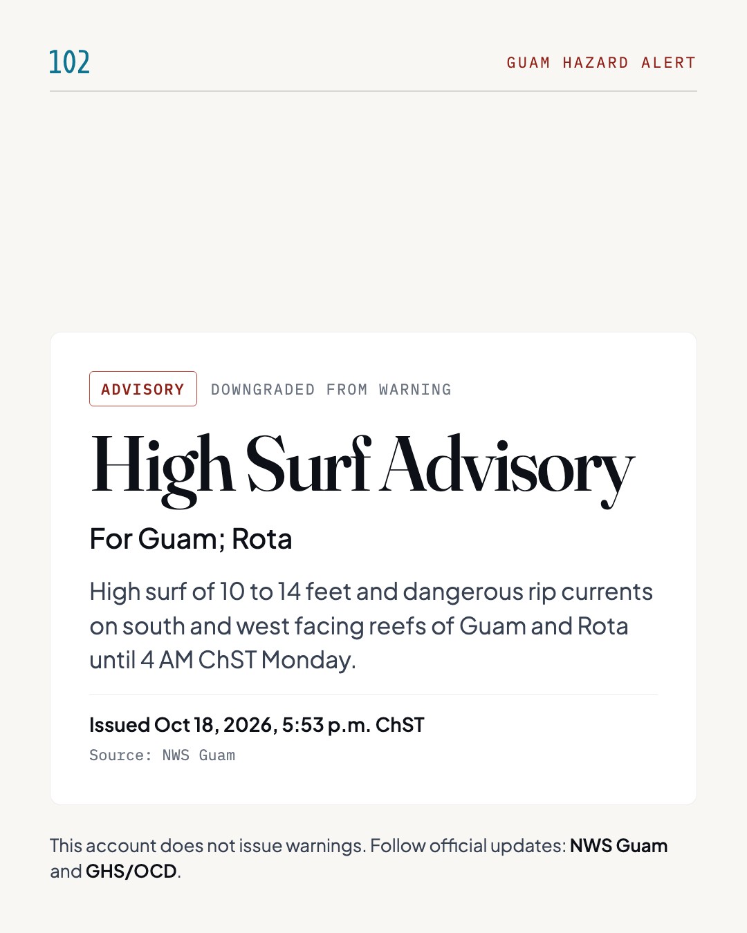
    Guam hazard alert: High Surf Advisory, for Guam; Rota. High surf of 10 to 14 feet and dangerous rip currents on south and west facing reefs of Guam and Rota until 4 AM ChST Monday. Issued Oct 18, 2026, 5:53 p.m. ChST by NWS Guam. This account does not issue warnings; follow NWS Guam and GHS/OCD.

    High surf of 10 to 14 feet and dangerous rip currents on south and west facing reefs of Guam and Rota until 4 AM ChST Monday.

    NWS Guam has issued a High Surf Advisory for Guam and Rota, in effect until 4 AM ChST Monday. Large breaking waves of 10 to 14 feet are expected in the surf zone along south and west facing reefs, along with a high risk of dangerous rip currents. Swimming and surfing conditions are dangerous, and localized beach erosion is possible. Rip currents can sweep even the best swimmers away from shore into deeper water. As Super Typhoon Champi continues moving away from the region, surf has fallen below life-threatening levels but will remain hazardous at least through tonight. Storm-induced coastal inundation and significant coastal erosion are no longer expected, though minor wave run-up can still occur.

    What to do

    • Inexperienced swimmers should remain out of the water due to dangerous surf conditions.
    • If caught in a rip current, relax and float. Don't swim against the current.
    • If able, swim in a direction following the shoreline.
    • If unable to escape, face the shore and call or wave for help.

    Timing: Until 4 AM ChST Monday, October 19.

    Source: NWS Guam(opens in a new tab)
  3. Level changed ·

    High Surf Advisory · COR 4

    Guam; Rota; Tinian; Saipan

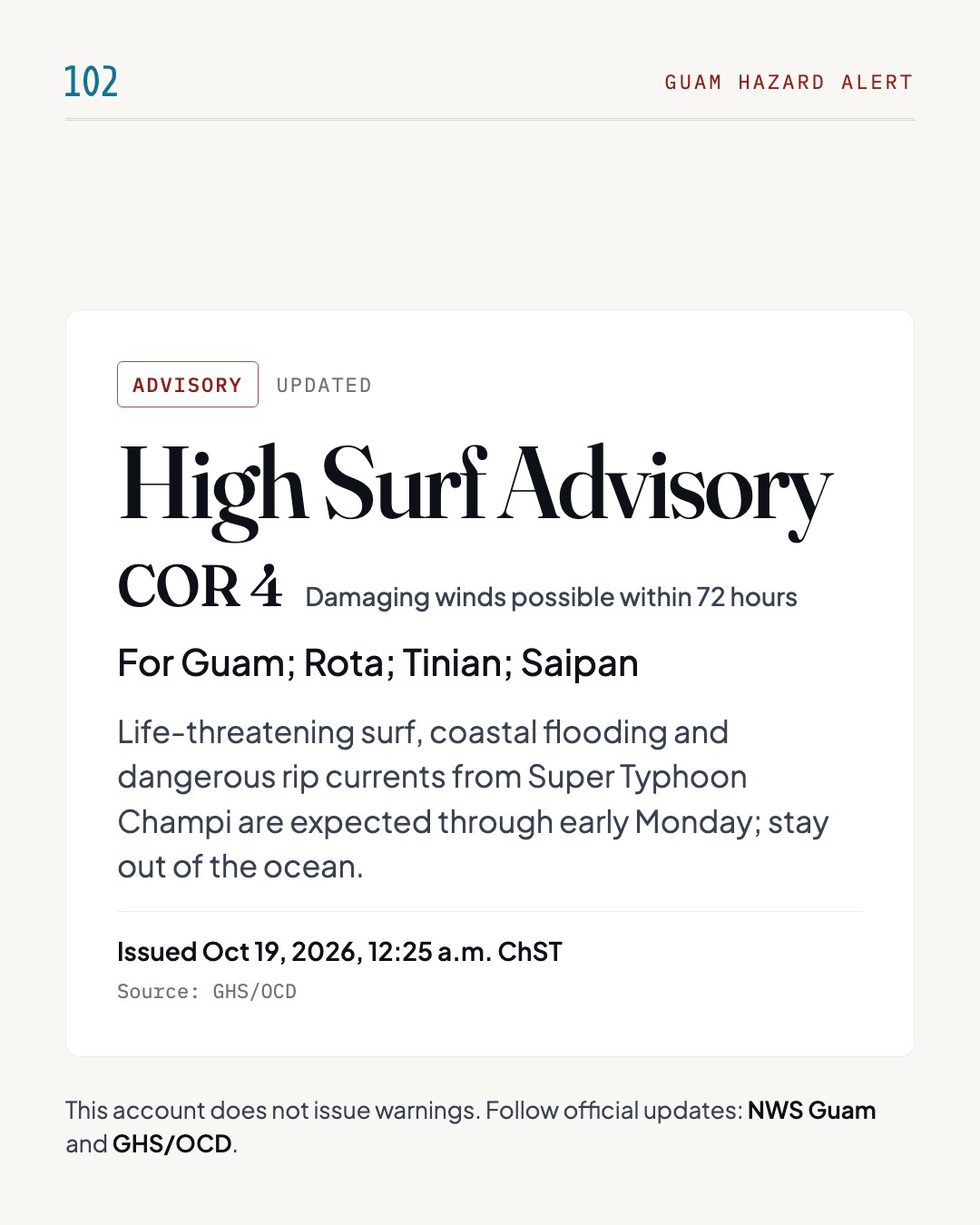
    Guam hazard alert: High Surf Advisory, COR 4, for Guam; Rota; Tinian; Saipan. Life-threatening surf, coastal flooding and dangerous rip currents from Super Typhoon Champi are expected through early Monday; stay out of the ocean. Issued Oct 19, 2026, 12:25 a.m. ChST by GHS/OCD. This account does not issue warnings; follow NWS Guam and GHS/OCD.

    Life-threatening surf, coastal flooding and dangerous rip currents from Super Typhoon Champi are expected through early Monday; stay out of the ocean.

    Governor Lourdes A. Leon Guerrero will place Guam in Condition of Readiness (COR) 4 at 6 p.m. on Sunday, October 18, 2026, after Super Typhoon Champi. The move to COR 4 does not mean coastal conditions are safe. Life-threatening surf, coastal flooding and dangerous rip currents are expected through early Monday morning. Stay out of the ocean, including swimming, surfing, snorkeling and diving, and stay away from beaches, shorelines, reefs and coastal structures, especially south- and east-facing reefs and beaches. Avoid flooded coastal roads and areas. Guam Department of Education, Catholic schools, Guam Community College and the University of Guam are closed Monday, October 19. Power and water restoration continues, with possible power fluctuations, outages and low water pressure.

    What to do

    • Stay out of the ocean, including swimming, surfing, snorkeling and diving.
    • Stay away from beaches, shorelines, reefs and coastal structures where waves can sweep people into the water.
    • Avoid flooded coastal roads and flooded areas.
    • Unplug or protect sensitive electronic equipment from potential power surges.
    • Turn off the main breaker if experiencing brownouts, partial power, or water coming from electrical outlets.
    • Conserve water for essential purposes only; refrain from washing vehicles and pressure washing.

    Timing: Life-threatening surf, coastal flooding and dangerous rip currents are expected through early Monday morning.

    Source: GHS/OCD(opens in a new tab)

  4. Ended ·

    High Surf no longer in effect

    Guam; Rota

    Guam hazard alert ended: High Surf Advisory is no longer in effect for Guam; Rota. This alert is no longer in effect. Issued Oct 19, 2026, 3:55 p.m. ChST by NWS Guam.

    This alert is no longer in effect.

    This alert is no longer in effect.

    Source: NWS Guam(opens in a new tab)
Coastal Flood

Oct 16, 2026, 4:42 p.m. ChST to Oct 18, 2026, 6:07 p.m. ChST · 3 updates
  1. New alert ·

    Coastal Flood Watch

    Guam; Rota; Tinian; Saipan

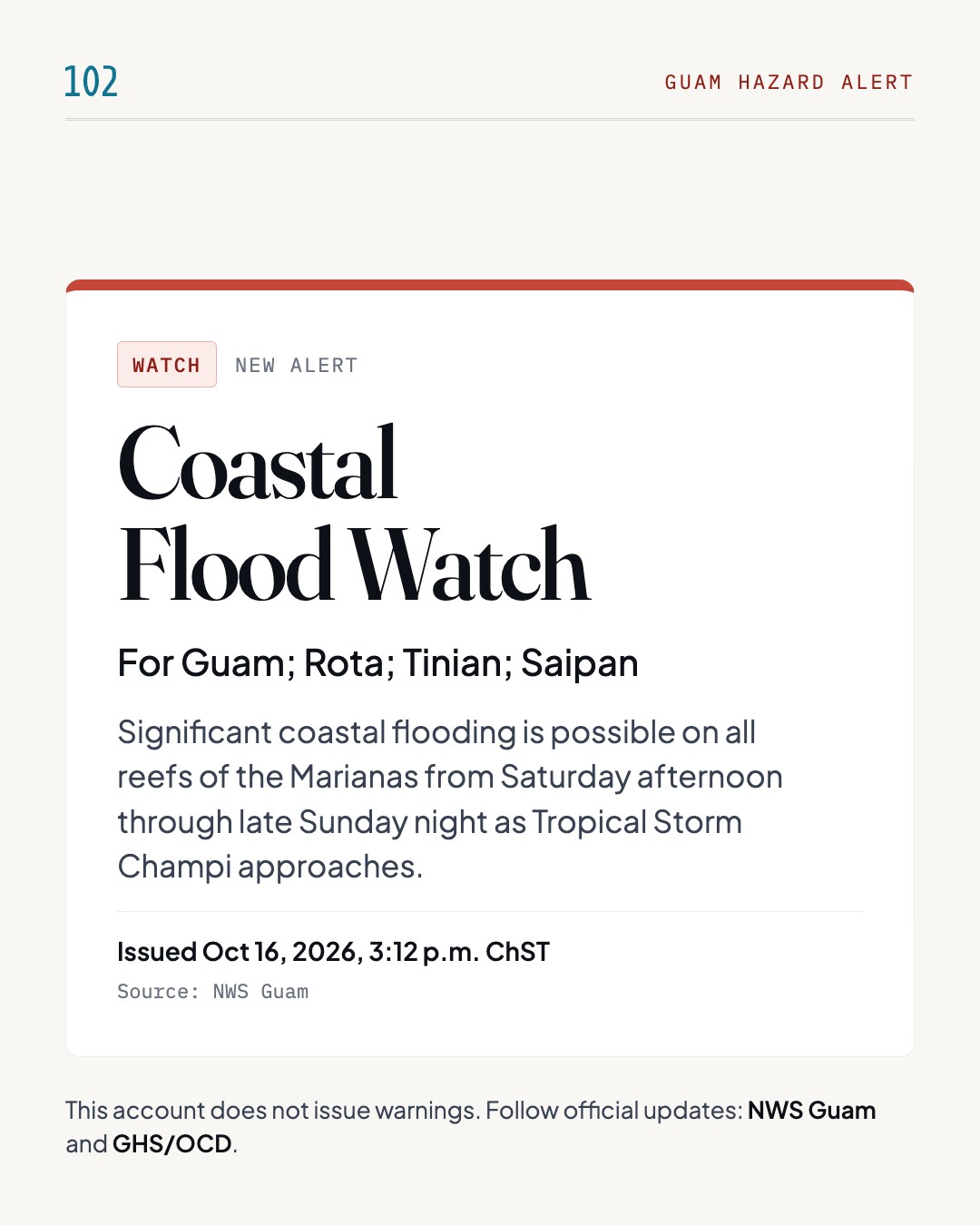
    Guam hazard alert: Coastal Flood Watch, for Guam; Rota; Tinian; Saipan. Significant coastal flooding is possible on all reefs of the Marianas from Saturday afternoon through late Sunday night as Tropical Storm Champi approaches. Issued Oct 16, 2026, 3:12 p.m. ChST by NWS Guam. This account does not issue warnings; follow NWS Guam and GHS/OCD.

    Significant coastal flooding is possible on all reefs of the Marianas from Saturday afternoon through late Sunday night as Tropical Storm Champi approaches.

    NWS Guam has issued a Coastal Flood Watch for Guam, Rota, Tinian and Saipan as Tropical Storm Champi approaches the Marianas. Significant coastal flooding is possible on all reefs of the Marianas from Saturday afternoon through late Sunday night. Coastal inundation of up to 5 feet is possible for Guam, 2 to 4 feet for Rota, and 1 to 3 feet for Tinian and Saipan. Numerous roads may be closed, and low-lying property, including homes, businesses and some critical infrastructure, may be inundated. Shoreline and beach erosion may occur. A High Surf Warning is also in effect, with breaking waves building to as high as 26 feet for Guam from 5 PM Saturday to 4 AM ChST Monday.

    What to do

    • Everyone should remain out of the water due to life-threatening surf conditions.
    • Stay off of jetties, piers, and other waterside infrastructure.

    Timing: Saturday afternoon through late Sunday night; in effect until 4 AM ChST Monday, October 19.

    Source: NWS Guam(opens in a new tab)
  2. Level changed ·

    Coastal Flood Warning

    Guam; Rota; Tinian; Saipan

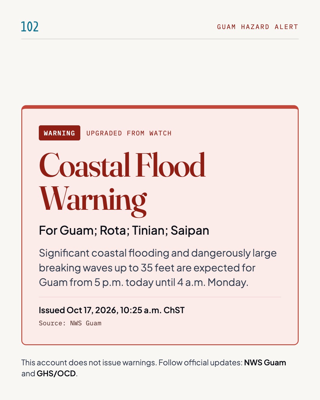
    Guam hazard alert: Coastal Flood Warning, for Guam; Rota; Tinian; Saipan. Significant coastal flooding and dangerously large breaking waves up to 35 feet are expected for Guam from 5 p.m. today until 4 a.m. Monday. Issued Oct 17, 2026, 10:25 a.m. ChST by NWS Guam. This account does not issue warnings; follow NWS Guam and GHS/OCD.

    Significant coastal flooding and dangerously large breaking waves up to 35 feet are expected for Guam from 5 p.m. today until 4 a.m. Monday.

    NWS Guam has issued a Coastal Flood Warning, along with a High Surf Warning, for Guam, Rota, Tinian and Saipan. Significant coastal flooding is expected, with dangerously large breaking waves up to 35 feet for Guam, 20 to 25 feet for Rota, and 15 to 20 feet for Tinian and Saipan. Coastal inundation of 5 to 7 feet is possible for Guam, 2 to 4 feet for Rota, and 1 to 3 feet for Tinian and Saipan. Numerous roads may be closed, and low-lying homes, businesses and some critical infrastructure will be inundated. Surf is expected to rise rapidly to dangerous levels tonight. Impacts on the western coasts of Guam and Rota depend on Champi's final track: passage south of Guam would reduce them, while passage over Guam would bring larger inundation.

    What to do

    • Everyone should remain out of the water due to life-threatening surf conditions.
    • Stay well away from the coast.

    Timing: From 5 p.m. today until 4 a.m. ChST Monday.

    Source: NWS Guam(opens in a new tab)
  3. Ended ·

    Coastal Flood no longer in effect

    Guam; Rota

    Guam hazard alert ended: Coastal Flood Warning is no longer in effect for Guam; Rota. This alert is no longer in effect. Issued Oct 18, 2026, 12:00 p.m. ChST by NWS Guam.

    This alert is no longer in effect.

    This alert is no longer in effect.

    Source: NWS Guam(opens in a new tab)
Typhoon

Oct 16, 2026, 3:45 p.m. ChST to Oct 18, 2026, 6:08 p.m. ChST · 4 updates
  1. Level changed ·

    Typhoon Watch · COR 2

    Guam; Rota; Tinian; Saipan

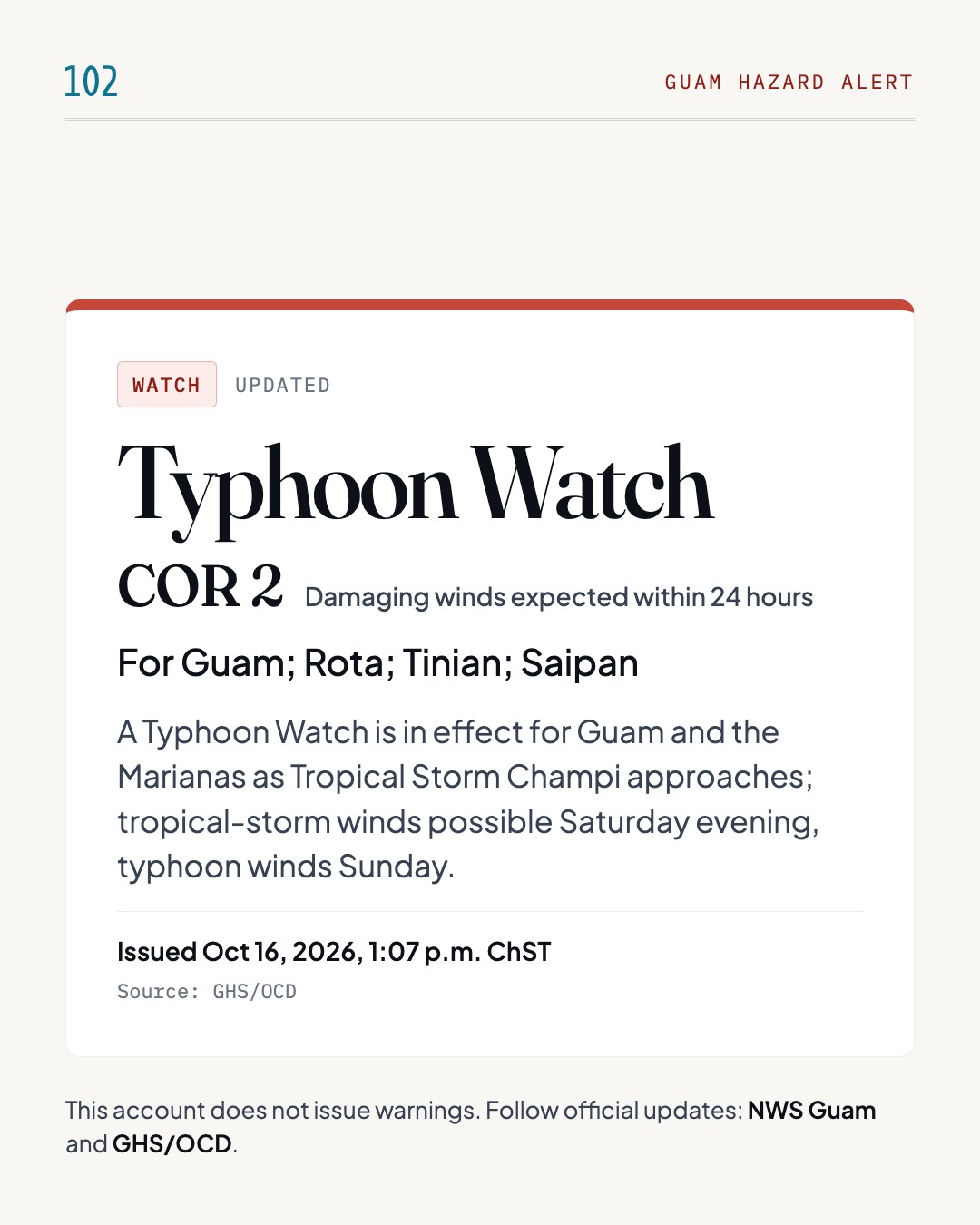
    Guam hazard alert: Typhoon Watch, COR 2, for Guam; Rota; Tinian; Saipan. A Typhoon Watch is in effect for Guam and the Marianas as Tropical Storm Champi approaches; tropical-storm winds possible Saturday evening, typhoon winds Sunday. Issued Oct 16, 2026, 1:07 p.m. ChST by GHS/OCD. This account does not issue warnings; follow NWS Guam and GHS/OCD.

    A Typhoon Watch is in effect for Guam and the Marianas as Tropical Storm Champi approaches; tropical-storm winds possible Saturday evening, typhoon winds Sunday.

    Guam is in Condition of Readiness 2 and the Joint Information Center is partially activated for Tropical Storm Champi (29W). A Typhoon Watch is in effect for Guam, Rota, Tinian and Saipan, and a Flood Watch runs through Sunday afternoon. As of 7 a.m. ChST, Champi was about 750 miles east of Guam, moving west-northwest at 12 mph with maximum sustained winds of 45 mph. The National Weather Service expects it to strengthen to at least a Category 1 typhoon, and the exact path may change. Tropical-storm-force winds could arrive Saturday evening, with typhoon-force winds possible Sunday morning through afternoon. Surf of 7 to 9 feet could turn hazardous Saturday evening and become life-threatening at 15 to 20 feet by Sunday morning. Storm surge of 2 to 3 feet is possible, and rainfall of 6 to 12 inches is possible.

    What to do

    • Cover windows and doors with shutters or plywood, bring in loose outdoor items, and brace garage doors.
    • Make trips to the hardware store, grocery store, or gas station as early as possible.
    • Clear debris blocking drainage, especially if you live near a river, stream, or flood-prone area.
    • Identify a safe place to relocate if you live in a metal-roof or container home, storm surge zone, or flood-prone area.
    • Mariners should secure vessels and remain in port or seek safe harbor. Small craft should return to port.
    • Follow official announcements for shelter openings or evacuation orders.

    Timing: Tropical-storm-force winds possible Saturday evening; typhoon-force winds possible Sunday morning through Sunday afternoon.

    Source: GHS/OCD(opens in a new tab)

  2. Level changed ·

    Typhoon Warning · COR 2

    Guam

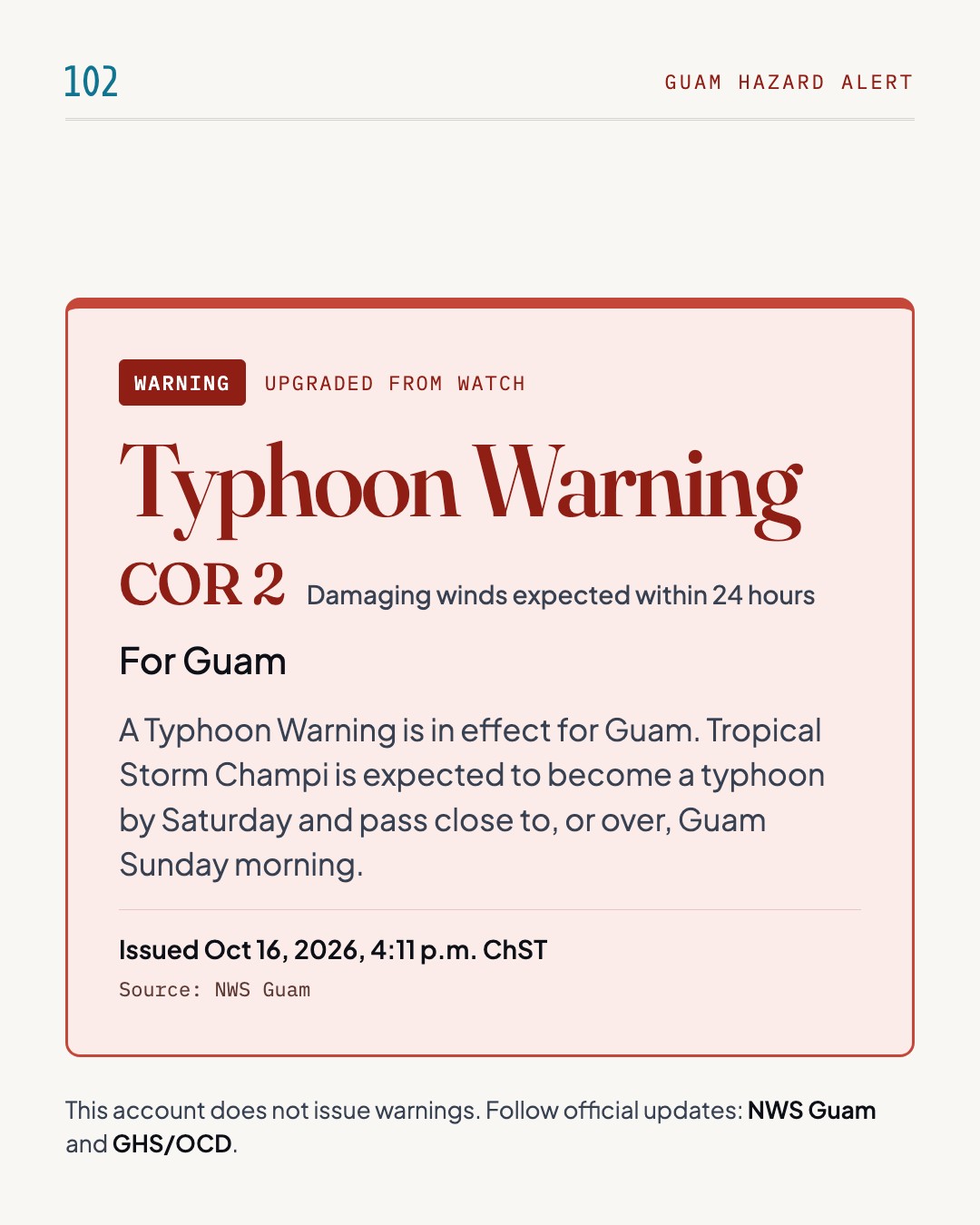
    Guam hazard alert: Typhoon Warning, COR 2, for Guam. A Typhoon Warning is in effect for Guam. Tropical Storm Champi is expected to become a typhoon by Saturday and pass close to, or over, Guam Sunday morning. Issued Oct 16, 2026, 4:11 p.m. ChST by NWS Guam. This account does not issue warnings; follow NWS Guam and GHS/OCD.

    A Typhoon Warning is in effect for Guam. Tropical Storm Champi is expected to become a typhoon by Saturday and pass close to, or over, Guam Sunday morning.

    NWS Guam has issued a Typhoon Warning for Guam, Rota and adjacent waters, and a Tropical Storm Warning for Tinian and Saipan, where a Typhoon Watch also continues. A Flood Watch is in effect for all of Guam and the Northern Marianas. At 2 PM ChST Thursday, Tropical Storm Champi (29W) was about 590 miles east-southeast of Guam, moving west at 24 mph with 50 mph winds. Champi is expected to intensify rapidly, become a typhoon by Saturday, and pass close to, or over, Guam Sunday morning. Conditions stay mostly calm tonight, with showers and winds increasing Friday afternoon and deteriorating significantly Saturday night. NWS warns winds will become dangerous and life-threatening very soon after onset and urges people to prepare now.

    What to do

    • Take small loose objects indoors.
    • Identify suitable shelter.
    • Stock up a few days' worth of food and water.
    • If no concrete shelter is available, look for a cave or something similar.
    • Take action to protect food crops or other possessions as appropriate.

    Timing: Showers and winds increase Friday afternoon, conditions deteriorate significantly Saturday night, and Champi may pass close to or over Guam Sunday morning.

    Source: NWS Guam(opens in a new tab)
  3. Level changed ·

    Typhoon Warning · COR 1

    Guam

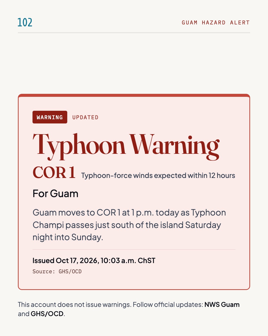
    Guam hazard alert: Typhoon Warning, COR 1, for Guam. Guam moves to COR 1 at 1 p.m. today as Typhoon Champi passes just south of the island Saturday night into Sunday. Issued Oct 17, 2026, 10:03 a.m. ChST by GHS/OCD. This account does not issue warnings; follow NWS Guam and GHS/OCD.

    Guam moves to COR 1 at 1 p.m. today as Typhoon Champi passes just south of the island Saturday night into Sunday.

    Governor Lourdes A. Leon Guerrero will place Guam in Condition of Readiness (COR) 1 at 1 p.m. today, October 17, 2026. At COR 1, destructive winds are possible within the next 12 hours. Champi is expected to pass just south of Guam Saturday night into Sunday. Damaging winds of 39 mph or more are expected from sunset tonight through sunrise Monday, and typhoon-force winds of 74 mph or more are anticipated as early as 5 a.m. Sunday across the island. The most severe impacts are expected in southern Guam, and residents in southern coastal flood-prone areas should move to safer shelter now. Five Emergency Evacuation Centers are listed, with maximum capacities of 287 to 683 people each.

    What to do

    • All residents are advised to take action now
    • Residents in southern coastal flood-prone areas should move to safer shelter now

    Timing: COR 1 takes effect at 1 p.m. today; damaging winds from sunset tonight through sunrise Monday; typhoon-force winds as early as 5 a.m. Sunday.

    Source: GHS/OCD(opens in a new tab)
  4. Ended ·

    Typhoon no longer in effect

    Guam

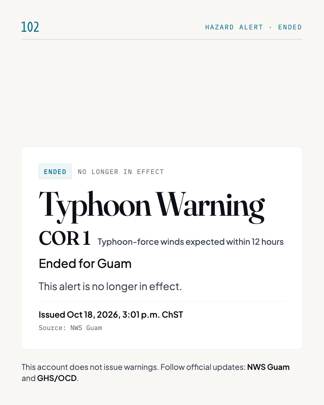
    Guam hazard alert ended: Typhoon Warning is no longer in effect for Guam. This alert is no longer in effect. Issued Oct 18, 2026, 3:01 p.m. ChST by NWS Guam.

    This alert is no longer in effect.

    This alert is no longer in effect.

    Source: NWS Guam(opens in a new tab)